
Fájl:Herefordshire UK location map.svg

Ennek a(z) SVG fájlnak ezen PNG formátumú előnézete: 473 × 599 képpont. További felbontások: 189 × 240 képpont | 379 × 480 képpont | 606 × 768 képpont | 808 × 1 024 képpont | 1 616 × 2 048 képpont | 999 × 1 266 képpont.
Eredeti fájl (SVG fájl, névlegesen 999 × 1 266 képpont, fájlméret: 1,55 MB)
|
Ez a fájl a Wikimedia Commonsból származik. Az alább látható leírás az ottani dokumentációjának másolata. A Commons projekt szabad licencű kép- és multimédiatár. Segíts te is az építésében! |
| Leírás |
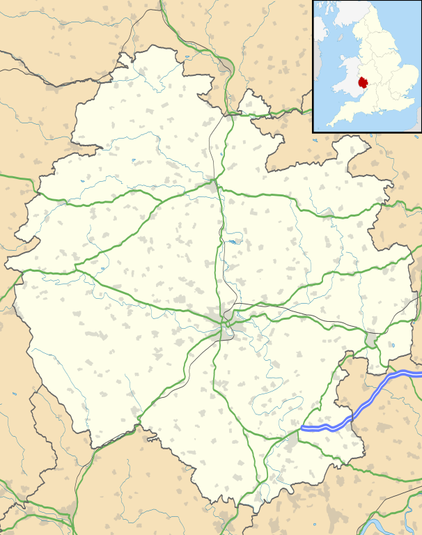
Map of Herefordshire, UK with the following information shown:
Equirectangular map projection on WGS 84 datum, with N/S stretched 160% Geographic limits:
|
| Dátum | |
| Forrás |
|
| Szerző | Nilfanion, created using Ordnance Survey data |
| Engedély (Fájl újrafelhasználása) |
Ez a fájl a Creative Commons Nevezd meg! – Így add tovább! 3.0 Unported licenc alapján használható fel. Így nevezd meg: Contains Ordnance Survey data © Crown copyright and database right
|
| Más változatok | File:Herefordshire UK district map (blank).svg - Blank map |
.svg)
Fájltörténet
Kattints egy időpontra, hogy a fájl akkori állapotát láthasd.
| Dátum/idő | Bélyegkép | Felbontás | Feltöltő | Megjegyzés | |
|---|---|---|---|---|---|
| aktuális | 2010. szeptember 26., 20:55 | | 999 × 1 266 (1,55 MB) | Nilfanion | {{Information |Description=Map of Herefordshire, UK with the following information shown: *Administrative borders *Coastline, lakes and rivers *Roads and railways *Urban areas Equirectangular map projection on WGS 84 datum, with N/S s |
Fájlhasználat
Az alábbi lap használja ezt a fájlt:
Globális fájlhasználat
A következő wikik használják ezt a fájlt:
- Használata itt: ar.wikipedia.org
- Használata itt: az.wikipedia.org
- Használata itt: bg.wikipedia.org
- Használata itt: ceb.wikipedia.org
- Használata itt: cy.wikipedia.org
- Használata itt: en.wikipedia.org
- Hereford
- Kilpeck
- Eye, Herefordshire
- Symonds Yat
- Bacton, Herefordshire
- Leominster
- Kington, Herefordshire
- Ledbury
- Ross-on-Wye
- Bromyard
- Edvin Loach
- Weston under Penyard
- Pembridge
- Adforton
- Whitchurch, Herefordshire
- Welsh Bicknor
- Much Marcle
- Combe Moor
- Much Dewchurch
- Credenhill
- Welsh Newton
- Thornbury, Herefordshire
- Leintwardine
- List of places in Herefordshire
- Colwall
- Abbey Dore
- Weston Beggard
- Moreton on Lugg
- Peterchurch
- Cusop
- Weobley
- Llanwarne
- Pontrilas
- Yazor
- Eardisley
- Walford, Ross-on-Wye
- Little Hereford
- Preston on Wye
- Allensmore
- Hope under Dinmore
- Almeley
- Ashperton
- Aston Ingham
- Avenbury
A fájl globális használatának megtekintése