
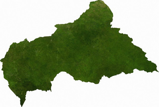
Fájl:Satellite map of the Central African Republic.png

Az előnézet mérete: 800 × 539 képpont További felbontások: 320 × 216 képpont | 640 × 431 képpont | 1 024 × 690 képpont | 1 280 × 862 képpont | 1 566 × 1 055 képpont.
Eredeti fájl (1 566 × 1 055 képpont, fájlméret: 1,72 MB, MIME-típus: image/png)
|
Ez a fájl a Wikimedia Commonsból származik. Az alább látható leírás az ottani dokumentációjának másolata. A Commons projekt szabad licencű kép- és multimédiatár. Segíts te is az építésében! |
ECW to TIFF to PNG (compression level 9).
| This file is in the public domain, because it was generated by a user, using free sources available at The Map Library.
Note that this does not include the maps in the Global Administrative Areas section of the homepage. |
Eredeti feltöltési napló
| date/time | username | resolution | size | edit summary |
|---|---|---|---|---|
| 2006-07-13T03:41:14Z | User:Cwolfsheep | 1566×1055 | 1.72Gb | [[Wikipedia:ECW|ECW]] to [[Wikipedia:TIFF|TIFF]] to [[Wikipedia:PNG|PNG]] (compression level 9). {{PD-MapLibrary}} |
Fájltörténet
Kattints egy időpontra, hogy a fájl akkori állapotát láthasd.
| Dátum/idő | Bélyegkép | Felbontás | Feltöltő | Megjegyzés | |
|---|---|---|---|---|---|
| aktuális | 2009. július 6., 18:45 | | 1 566 × 1 055 (1,72 MB) | BetacommandBot | move approved by: User:Kintetsubuffalo This image was moved from File:Cenafrep sat.png ECW to TIFF to PNG (compression level 9). {{PD-MapLibrary}} [[Category:Maps of the Central African Re |
Fájlhasználat
Ezt a fájlt nem használja egyetlen lap sem.
Globális fájlhasználat
A következő wikik használják ezt a fájlt:
- Használata itt: af.wikipedia.org
- Használata itt: cs.wikipedia.org
- Használata itt: en.wikipedia.org
- Használata itt: ka.wikipedia.org
- Használata itt: mk.wikipedia.org
- Használata itt: pl.wikipedia.org
- Használata itt: sg.wikipedia.org
- Használata itt: tl.wikipedia.org
- Használata itt: uk.wikipedia.org
- Használata itt: zh.wikipedia.org