
Fájl:Dovermap1945.jpg
Az előnézet mérete: 747 × 600 képpont További felbontások: 299 × 240 képpont | 598 × 480 képpont | 879 × 706 képpont.
Eredeti fájl (879 × 706 képpont, fájlméret: 502 KB, MIME-típus: image/jpeg)
|
Ez a fájl a Wikimedia Commonsból származik. Az alább látható leírás az ottani dokumentációjának másolata. A Commons projekt szabad licencű kép- és multimédiatár. Segíts te is az építésében! |
| Leírás |
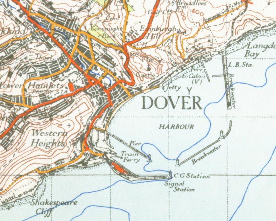
English: from the 1945 OS map of East Kent 1 inch to the mile |
| Dátum | 2006. november 17. (eredeti feltöltésének dátuma) |
| Forrás | Áthozta Oxyman az en.wikipedia projektből a Commonsba CommonsHelper használatával. |
| Szerző | Az eredeti feltöltő Geni a(z) angol Wikipédia projektből volt |
Licenc
This work is an Ordnance Survey map over 50 years old, which is covered by Crown Copyright which in this case expires 50 years after publication. Ordnance Survey does however ask that they be credited and that the date of publication be given.
Any ancillary rights gained through the creation of the electronic version are granted as freely usable under any circumstances.
|
This work created by the United Kingdom Government is in the public domain.
This is because it is one of the following:
HMSO has declared that the expiry of Crown Copyrights applies worldwide (ref: HMSO Email Reply)
|
 |
Eredeti feltöltési napló
Az eredeti leírólap itt volt. Az itt következő felhasználónevek az en.wikipedia projektre hivatkoznak.
- 2006-11-17 21:40 Geni 879×706× (513892 bytes) from the 1945 OS map of east kent 1 inch to the mile {{oldOS}}
Fájltörténet
Kattints egy időpontra, hogy a fájl akkori állapotát láthasd.
| Dátum/idő | Bélyegkép | Felbontás | Feltöltő | Megjegyzés | |
|---|---|---|---|---|---|
| aktuális | 2009. június 15., 02:12 | | 879 × 706 (502 KB) | File Upload Bot (Magnus Manske) | {{BotMoveToCommons|en.wikipedia|year={{subst:CURRENTYEAR}}|month={{subst:CURRENTMONTHNAME}}|day={{subst:CURRENTDAY}}}} {{Information |Description={{en|from the 1945 OS map of East Kent 1 inch to the mile}} |Source=Transferred from [http://en.wikipedia.or |
Fájlhasználat
Ezt a fájlt nem használja egyetlen lap sem.
Globális fájlhasználat
A következő wikik használják ezt a fájlt:
- Használata itt: azb.wikipedia.org
- Használata itt: de.wikipedia.org
- Használata itt: el.wikipedia.org
- Használata itt: en.wikipedia.org
- Használata itt: fr.wikipedia.org
- Használata itt: hr.wikipedia.org
- Használata itt: sl.wikipedia.org
- Használata itt: ta.wikipedia.org