
Fájl:Valga maakond.svg

Ennek a(z) SVG fájlnak ezen PNG formátumú előnézete: 800 × 576 képpont. További felbontások: 320 × 230 képpont | 640 × 460 képpont | 1 024 × 737 képpont | 1 280 × 921 képpont | 2 560 × 1 842 képpont | 884 × 636 képpont.
Eredeti fájl (SVG fájl, névlegesen 884 × 636 képpont, fájlméret: 450 KB)
|
Ez a fájl a Wikimedia Commonsból származik. Az alább látható leírás az ottani dokumentációjának másolata. A Commons projekt szabad licencű kép- és multimédiatár. Segíts te is az építésében! |
Összefoglaló
| Leírás |
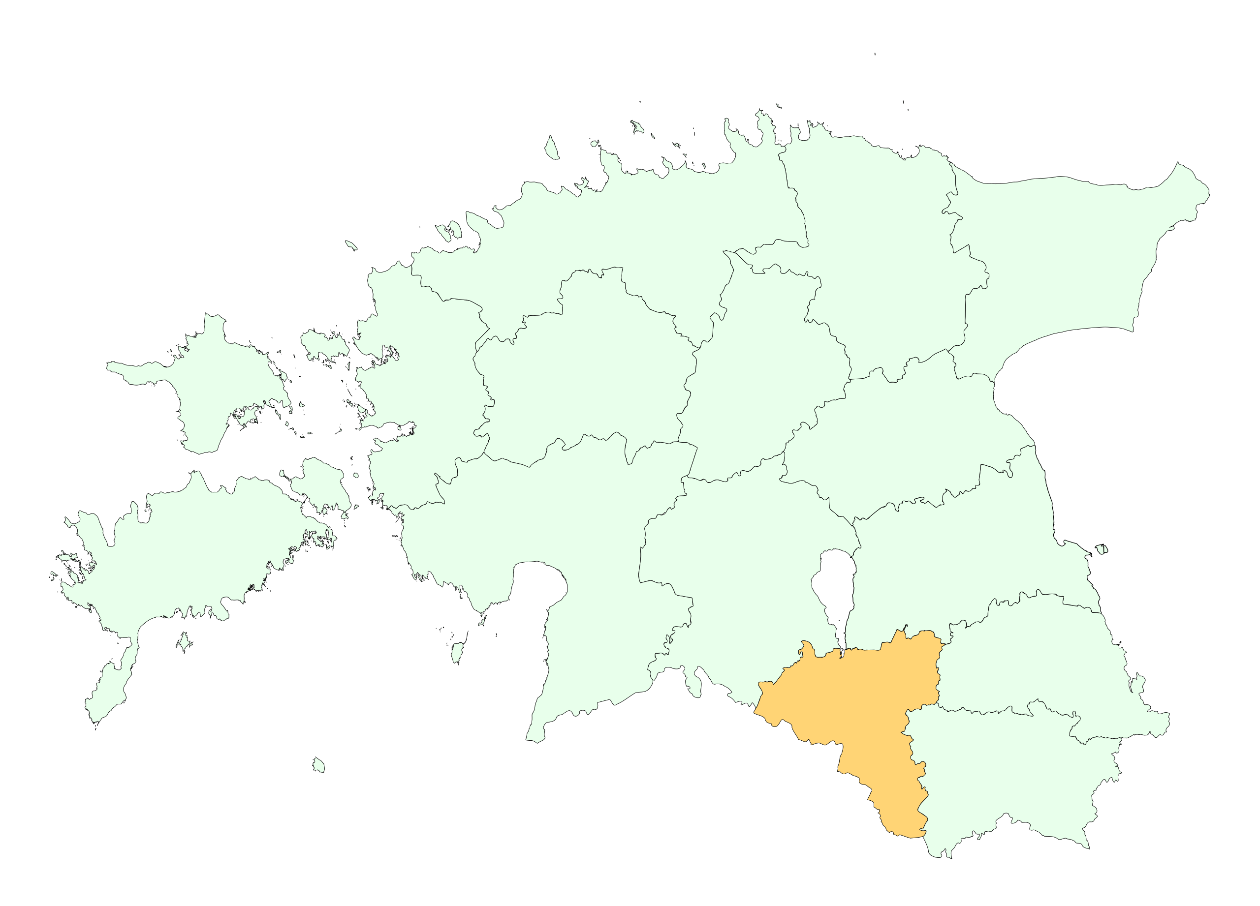
English: Location of Valga county |
||
| Dátum | |||
| Forrás | re-creating the file | ||
| Szerző | Estonian Land Board | ||
| Engedély (Fájl újrafelhasználása) |
|
Licenc

|
This map uses administrative map from Estonian Land Board (1.2006) as its data source. Reproduction is authorised, provided the data source is acknowledged and validity date is provided.
Eesti: Andmete kasutamisel tuleb viitena ära märkida andmeallikana Maa-amet ning viidata andmete seisule.
|
Fájltörténet
Kattints egy időpontra, hogy a fájl akkori állapotát láthasd.
| Dátum/idő | Bélyegkép | Felbontás | Feltöltő | Megjegyzés | |
|---|---|---|---|---|---|
| aktuális | 2009. április 24., 15:20 | | 884 × 636 (450 KB) | Mmh | {{Information |Description={{en|1=Location of Valga county}} |Source=re-creating the file |Author=Estonian Land Board |Date=2006 |Permission={{EST-Land Board|1.2006}} |other_versions= }} <!--{{ImageUpload|full}}--> [[Category:Locator maps of counties of |
Fájlhasználat
Az alábbi lap használja ezt a fájlt:
Globális fájlhasználat
A következő wikik használják ezt a fájlt:
- Használata itt: be-tarask.wikipedia.org
- Használata itt: be.wikipedia.org
- Használata itt: et.wikipedia.org
- Használata itt: hr.wikipedia.org
- Használata itt: ko.wikipedia.org
- Használata itt: kw.wikipedia.org
- Használata itt: nn.wikipedia.org
- Használata itt: pt.wikipedia.org
- Használata itt: se.wikipedia.org
- Használata itt: vo.wikipedia.org