
Fájl:Map of Indiana highlighting Vanderburgh County.svg

Ennek a(z) SVG fájlnak ezen PNG formátumú előnézete: 391 × 599 képpont. További felbontások: 156 × 240 képpont | 313 × 480 képpont | 501 × 768 képpont | 668 × 1 024 képpont | 1 337 × 2 048 képpont | 722 × 1 106 képpont.
Eredeti fájl (SVG fájl, névlegesen 722 × 1 106 képpont, fájlméret: 42 KB)
|
Ez a fájl a Wikimedia Commonsból származik. Az alább látható leírás az ottani dokumentációjának másolata. A Commons projekt szabad licencű kép- és multimédiatár. Segíts te is az építésében! |
Összefoglaló
| Leírás |
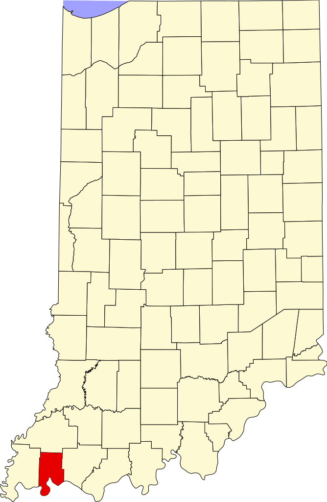
English: This is a locator map showing Vanderburgh County in Indiana. For more information, see Commons:United States county locator maps. |
| Dátum | |
| Forrás |
A feltöltő saját munkája: English: The maps use data from nationalatlas.gov, specifically countyp020.tar.gz on the Raw Data Download page. The maps also use state outline data from statesp020.tar.gz. The Florida maps use hydrogm020.tar.gz to display Lake Okeechobee. |
| Szerző | David Benbennick |
Licenc
| Én, a szerző, ezt a művemet ezennel közkinccsé nyilvánítom. Ez a világ minden részén érvényes. Egyes országokban ez jogilag nem lehetséges. Ha így van, akkor: Jogot adok bárkinek, hogy bármilyen célból, feltétel nélkül használhassa ezt a fájlt, kivéve a törvény által kötelezően előírt feltételeket. |
Fájltörténet
Kattints egy időpontra, hogy a fájl akkori állapotát láthasd.
| Dátum/idő | Bélyegkép | Felbontás | Feltöltő | Megjegyzés | |
|---|---|---|---|---|---|
| aktuális | 2024. június 25., 16:50 | | 722 × 1 106 (42 KB) | Nux | uniform colors with good contrast |
| 2024. június 19., 22:42 |  | 722 × 1 106 (42 KB) | Nux | fix rendering (remove clipping) | |
| 2006. február 12., 14:12 |  | 2 887 × 4 423 (56 KB) | David Benbennick | {{subst:User:Dbenbenn/clm|county=Vanderburgh County|state=Indiana}} |
Fájlhasználat
Az alábbi lapok használják ezt a fájlt:
Globális fájlhasználat
A következő wikik használják ezt a fájlt:
- Használata itt: ar.wikipedia.org
- Használata itt: arz.wikipedia.org
- Használata itt: az.wikipedia.org
- Használata itt: bg.wikipedia.org
- Használata itt: bpy.wikipedia.org
- Használata itt: cdo.wikipedia.org
- Használata itt: ceb.wikipedia.org
- Használata itt: ce.wikipedia.org
- Használata itt: cy.wikipedia.org
- Használata itt: de.wikipedia.org
- Használata itt: en.wikipedia.org
- List of counties in Indiana
- Vanderburgh County, Indiana
- Darmstadt, Indiana
- Evansville, Indiana
- Highland, Vanderburgh County, Indiana
- Melody Hill, Indiana
- Evansville Vanderburgh School Corporation
- Armstrong Township, Vanderburgh County, Indiana
- Center Township, Vanderburgh County, Indiana
- German Township, Vanderburgh County, Indiana
- Knight Township, Vanderburgh County, Indiana
- Perry Township, Vanderburgh County, Indiana
- Pigeon Township, Vanderburgh County, Indiana
- Scott Township, Vanderburgh County, Indiana
- Union Township, Vanderburgh County, Indiana
- Template:Vanderburgh County, Indiana
- Template:VanderburghCountyIN-geo-stub
- Hillsdale, Vanderburgh County, Indiana
- Inglefield, Indiana
- User:Nyttend/County templates/IN/2
- National Register of Historic Places listings in Vanderburgh County, Indiana
- Saint Joseph, Vanderburgh County, Indiana
- University Parkway (Evansville)
- Haynies Corner Arts District
- International World War Peace Tree
- Daylight, Indiana
- McCutchanville, Indiana
- Earle, Indiana
- Armstrong, Indiana
- Red Bank, Indiana
- Mud Center, Indiana
- Category:Populated places in Vanderburgh County, Indiana
- User:Crtew
- List of Indiana state historical markers in Vanderburgh County
- Nisbet, Indiana
A fájl globális használatának megtekintése