
Fájl:Map of Bremerhaven 1849.jpg

Eredeti fájl (1 772 × 1 328 képpont, fájlméret: 2,13 MB, MIME-típus: image/jpeg)
|
Ez a fájl a Wikimedia Commonsból származik. Az alább látható leírás az ottani dokumentációjának másolata. A Commons projekt szabad licencű kép- és multimédiatár. Segíts te is az építésében! |
Összefoglaló
| Leírás |
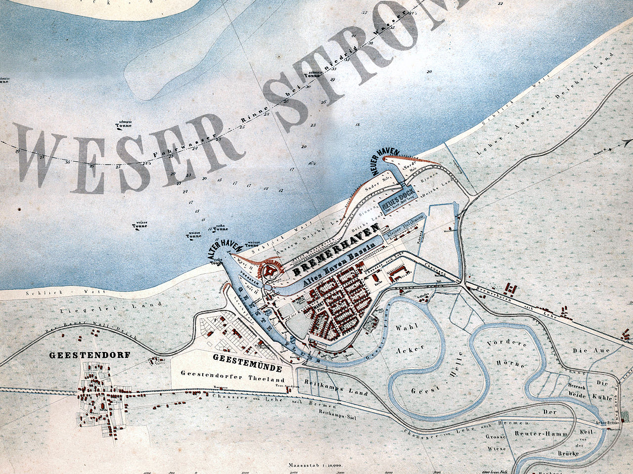
English: Map of the city of Bremerhaven, Germany from the year 1849.
Deutsch: „Bremerhaven mit den in Ausführung begriffenen neuen Havenanlagen“. Karte der Stadt Bremerhaven aus dem Jahr 1849.
Español: Mapa de la ciudad de Bremerhaven del año 1849.
Català: Mapa de la ciutat de Bremerhaven de l’any 1849. |
| Dátum | |
| Forrás | Hochschule Bremerhaven: Die Gebäude der Hochschule Bremerhaven. Wirtschaftsverlag NW, Bremerhaven 2005, ISBN 3-86509-250-0 |
| Szerző | Georg Hunckel |
| Engedély (Fájl újrafelhasználása) |
Public domain because of age. |
| Más változatok | Származékos művek: Map of Bremerhaven 1849 2011 11 27 Hochhaus.jpg |
Licenc
|
Ez a mű közkincs abban az országban, ahol elkészítették, és minden olyan további államban, ahol a szerzői jogi védelmi idő a szerző élete plusz 70 év vagy kevesebb.
| |
| Megállapították, hogy ez a fájl mentes mindenféle szerzői jogi korlátozástól, beleértve az összes kapcsolódó és hozzátartozó jogot. | |
Fájltörténet
Kattints egy időpontra, hogy a fájl akkori állapotát láthasd.
| Dátum/idő | Bélyegkép | Felbontás | Feltöltő | Megjegyzés | |
|---|---|---|---|---|---|
| aktuális | 2008. január 29., 19:03 | | 1 772 × 1 328 (2,13 MB) | Gepardenforellenfischer | {{Information |Description= {{en|Map of the city of Bremerhaven from the year 1849.}} {{de|Karte der Stadt Bremerhaven aus dem Jahr 1849.}} {{es|Mapa de la ciudad de Bremerhaven del año 1849.}} {{ca|Mapa de la ciutat de Bremerhaven de l’any 1849.}} |So |
Fájlhasználat
Az alábbi lapok használják ezt a fájlt:
Globális fájlhasználat
A következő wikik használják ezt a fájlt:
- Használata itt: be.wikipedia.org
- Használata itt: cs.wikipedia.org
- Használata itt: de.wikipedia.org
- Használata itt: hy.wikipedia.org
- Használata itt: la.wikipedia.org
- Használata itt: nl.wikipedia.org
- Használata itt: ru.wikipedia.org
- Használata itt: zh.wikipedia.org