
Fájl:Hauts-de-Seine department relief location map.jpg
Az előnézet mérete: 355 × 599 képpont További felbontások: 142 × 240 képpont | 284 × 480 képpont | 823 × 1 389 képpont.
Eredeti fájl (823 × 1 389 képpont, fájlméret: 228 KB, MIME-típus: image/jpeg)
|
Ez a fájl a Wikimedia Commonsból származik. Az alább látható leírás az ottani dokumentációjának másolata. A Commons projekt szabad licencű kép- és multimédiatár. Segíts te is az építésében! |
Összefoglaló
| Fényképező elhelyezkedése | | További képek erről a helyről: OpenStreetMap |
|---|
| Leírás |
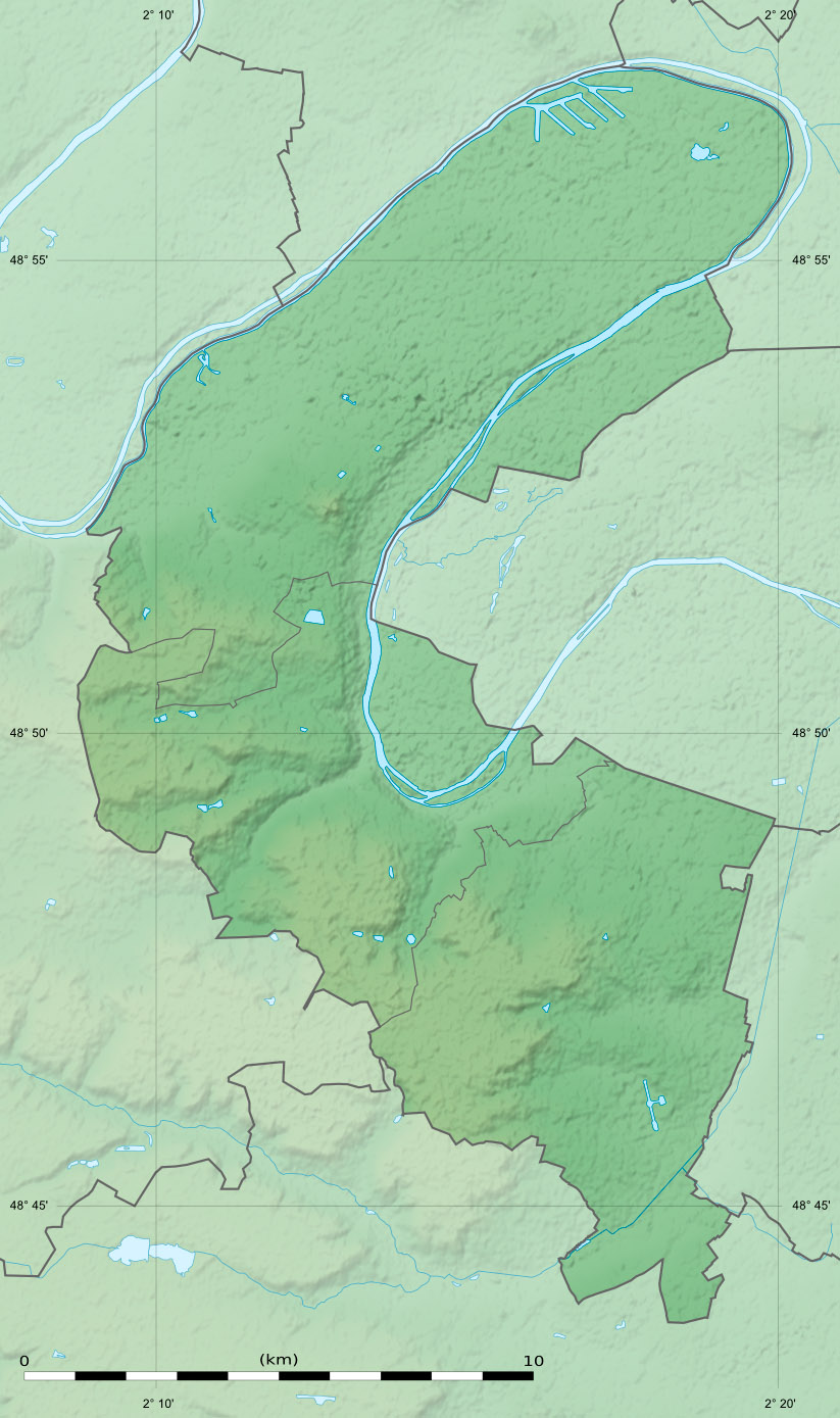
English: Blank physical map of the department of the Hauts-de-Seine, France, as in January 2015, for geo-location purpose, with distinct boundaries for departments and arrondissements.
Français : Carte physique vierge du département des Hauts-de-Seine, France, tel qu'en janvier 2015, destinée à la géolocalisation, avec limite distincte des départements et arrondissements. Scale:
Equirectangular projection, WGS84 datum
Geographic limits of the map:
|
||
| Dátum | |||
| Forrás |
A feltöltő saját munkája
|
||
| Szerző | Eric Gaba (Sting - fr:Sting) | ||
| Engedély (Fájl újrafelhasználása) |
|
||
| Más változatok |
|

Licenc
Eric Gaba, Wikimedia Commons user Sting, e mű szerzője a művét az alábbi licenc alatt teszi közzé:
Ez a fájl a Creative Commons Nevezd meg! – Így add tovább! 3.0 Unported licenc alapján használható fel.
Így nevezd meg: Eric Gaba, Wikimedia Commons user Sting
- A következőket teheted a művel:
- megoszthatod – szabadon másolhatod, terjesztheted, bemutathatod és előadhatod a művet
- feldolgozhatod – származékos műveket hozhatsz létre
- Az alábbi feltételekkel:
- Nevezd meg! – A szerzőt megfelelően fel kell tüntetned, hivatkozást kell létrehoznod a licencre és jelezned kell, ha a művön változtatást hajtottál végre. Ezt bármilyen észszerű módon megteheted, kivéve oly módon, ami azt sugallná hogy a jogosult támogat téged vagy a felhasználásod körülményeit.
- Így add tovább! – Ha megváltoztatod, átalakítod, feldolgozod ezt a művet, a közreműködésedet csak az eredetivel megegyező vagy hasonló licenc alatt terjesztheted.
Fájltörténet
Kattints egy időpontra, hogy a fájl akkori állapotát láthasd.
| Dátum/idő | Bélyegkép | Felbontás | Feltöltő | Megjegyzés | |
|---|---|---|---|---|---|
| aktuális | 2015. február 12., 17:36 | | 823 × 1 389 (228 KB) | Sting | Boundaries correction |
| 2015. január 24., 00:40 |  | 823 × 1 389 (302 KB) | Sting | == {{int:filedesc}} == {{Location|48|50|15|N|02|14|15|E|scale:300000}} {{Information |Description={{en|Blank physical map of the department of the Hauts-de-Seine, France, as in January 2015, for geo-location purpose, with distinc... |
Fájlhasználat
Az alábbi lap használja ezt a fájlt:
Globális fájlhasználat
A következő wikik használják ezt a fájlt:
- Használata itt: als.wikipedia.org
- Használata itt: de.wikipedia.org
- Használata itt: eo.wikipedia.org
- Használata itt: frr.wikipedia.org
- Használata itt: fr.wikipedia.org
- Boulogne-Billancourt
- Colombes
- Asnières-sur-Seine
- Courbevoie
- Clamart
- Chaville
- Clichy
- Meudon
- Antony
- Issy-les-Moulineaux
- Levallois-Perret
- Gennevilliers
- Puteaux
- Sèvres
- Bagneux (Hauts-de-Seine)
- Bois-Colombes
- Bourg-la-Reine
- Châtenay-Malabry
- Garches
- La Garenne-Colombes
- Malakoff (Hauts-de-Seine)
- Marnes-la-Coquette
- Saint-Cloud
- Vanves
- Vaucresson
- Villeneuve-la-Garenne
- Île Saint-Germain
- Île Seguin
- Île de la Jatte
- Bataille de Buzenval (1871)
- Forêt de Fausses-Reposes
- Neuilly-sur-Seine
- Suresnes
- Mont Valérien
- Géographie des Hauts-de-Seine
- Forêt de Meudon
- Île de Puteaux
- Sceaux (Hauts-de-Seine)
- Rueil-Malmaison
A fájl globális használatának megtekintése