
Fájl:China Gansu rel location map.svg

Eredeti fájl (SVG fájl, névlegesen 998 × 789 képpont, fájlméret: 724 KB)
|
Ez a fájl a Wikimedia Commonsból származik. Az alább látható leírás az ottani dokumentációjának másolata. A Commons projekt szabad licencű kép- és multimédiatár. Segíts te is az építésében! |
Összefoglaló
| Leírás |
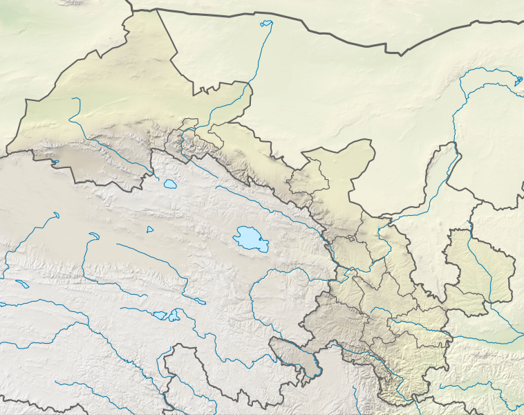
Deutsch: Positionskarte von Gansu, Volksrepublik China
English: Location map of Gansu, People's Republic of China
|
||||||||||||
| Dátum | |||||||||||||
| Forrás |
Own work using:
|
||||||||||||
| Szerző | NordNordWest | ||||||||||||
| Más változatok |
|
||||||||||||


|
Ezt a térképet a német Kartenwerkstatt készítette vagy javította. Te is javasolhatsz térképeket javításra.
|
Licenc
Usage of this file with:

explanatory notes: Legally binding is only the full legalcode. For a free usage I recommend to respect the following licence conditions:
1. Provide my name as given above: NordNordWest,
2. a copy of, or the URI for, the applicable license: https://creativecommons.org/licenses/by-sa/3.0/de/legalcode,
3. the title of the work,
4. in the case of an adaptation, a credit identifying the use of the work in the adaptation.
This license and the rights granted hereunder will terminate automatically upon any breach by you of the terms of this license. Any of the above conditions can be waived if you get permission from the copyright holder. If you have questions or wish differing conditions, please contact me through nnwest or my discussion page ![]() t-online.de
t-online.de
- A következőket teheted a művel:
- megoszthatod – szabadon másolhatod, terjesztheted, bemutathatod és előadhatod a művet
- feldolgozhatod – származékos műveket hozhatsz létre
- Az alábbi feltételekkel:
- Nevezd meg! – A szerzőt megfelelően fel kell tüntetned, hivatkozást kell létrehoznod a licencre és jelezned kell, ha a művön változtatást hajtottál végre. Ezt bármilyen észszerű módon megteheted, kivéve oly módon, ami azt sugallná hogy a jogosult támogat téged vagy a felhasználásod körülményeit.
- Így add tovább! – Ha megváltoztatod, átalakítod, feldolgozod ezt a művet, a közreműködésedet csak az eredetivel megegyező vagy hasonló licenc alatt terjesztheted.

Fájltörténet
Kattints egy időpontra, hogy a fájl akkori állapotát láthasd.
| Dátum/idő | Bélyegkép | Felbontás | Feltöltő | Megjegyzés | |
|---|---|---|---|---|---|
| aktuális | 2022. április 24., 19:49 | | 998 × 789 (724 KB) | NordNordWest | == {{int:filedesc}} == {{Information |Description= {{de|1=Positionskarte von Gansu, Volksrepublik China}} {{en|1=Location map of Gansu, People's Republic of China}} {{Location map series N |stretching=126 |top=43 |bottom=32.4 |left=92.1 |right=109 }} |Source={{Own using}} * United States National Imagery and Mapping Agency data * World Data Base II data * ETOPO1 data |Date=2022-04-24 |Author={{U|NordNordWest}} |Permission= |other_versions=<gallery>China Gansu adm location map.svg</gallery> }}... |
Fájlhasználat
Az alábbi lap használja ezt a fájlt:
Globális fájlhasználat
A következő wikik használják ezt a fájlt:
- Használata itt: bn.wikipedia.org
- Használata itt: de.wikipedia.org
- Használata itt: en.wikipedia.org
- Dunhuang
- Mogao Caves
- Yumen City
- Crescent Lake (Dunhuang)
- Zhangye
- Lintao County
- Wushao Mountain
- Hekou Group
- Liujiaxia Reservoir
- 2010 Gansu mudslide
- Lazikou Pass
- Battle of Mount Qi
- 1879 Gansu earthquake
- Module:Location map/data/China Gansu
- Module:Location map/data/China Gansu/doc
- User:Ty654/List of earthquakes from 1900-1949 exceeding magnitude 7+
- User:Ty654/List of earthquakes from 1950-1999 exceeding magnitude 7+
- User:Ty654/List of earthquakes from 1920-1929 exceeding magnitude 6+
- User:Ty654/List of earthquakes from 1930-1939 exceeding magnitude 6+
- User:Ty654/List of earthquakes from 1950-1954 exceeding magnitude 6+
- Suoyang City
- User:Ty654/List of earthquakes before 1900 exceeding magnitude 8+
- Baishiya Karst Cave
- Module:Location map/data/Gansu
- Donggang Subdistrict
- Dahe Township, Gansu
- Zhuanglang River
- 1718 Tongwei–Gansu earthquake
- Module:Location map/data/Gansu/doc
- 2023 Jishishan earthquake
- Használata itt: fr.wikipedia.org
- Használata itt: he.wikipedia.org
A fájl globális használatának megtekintése