
Fájl:South Georgia SSI.PNG
Nem érhető el nagyobb felbontású változat.
South_Georgia_SSI.PNG (613 × 504 képpont, fájlméret: 37 KB, MIME-típus: image/png)
|
Ez a fájl a Wikimedia Commonsból származik. Az alább látható leírás az ottani dokumentációjának másolata. A Commons projekt szabad licencű kép- és multimédiatár. Segíts te is az építésében! |
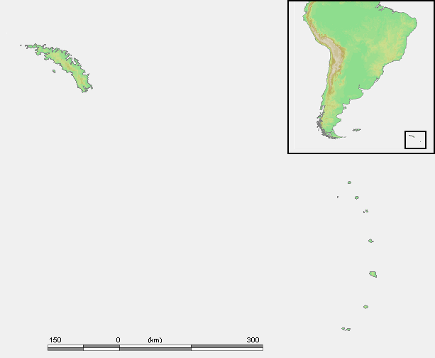
| Leírás | Location of South Georgia and the South Sandwich Islands - blank map | ||||
| Dátum | |||||
| Forrás | own work based on PD map | ||||
| Szerző | edited by User:Telim tor | ||||
| Engedély (Fájl újrafelhasználása) |
|
Fájltörténet
Kattints egy időpontra, hogy a fájl akkori állapotát láthasd.
| Dátum/idő | Bélyegkép | Felbontás | Feltöltő | Megjegyzés | |
|---|---|---|---|---|---|
| aktuális | 2009. április 9., 10:31 | | 613 × 504 (37 KB) | Telim tor | {{Information |Description=Location of South Georgia and the South Sandwich Islands - blank map |Source=own work based on PD map |Date=2009-04-09 |Author=edited by User:Telim tor |Permission={{PD-Demis}} |other_versions= }} [[Category:Maps of South G |
Fájlhasználat
Az alábbi lap használja ezt a fájlt: