
Fájl:NavassaCoastAerialUSGS.jpg

Az előnézet mérete: 800 × 525 képpont További felbontások: 320 × 210 képpont | 640 × 420 képpont | 1 024 × 672 képpont | 1 280 × 841 képpont | 1 800 × 1 182 képpont.
Eredeti fájl (1 800 × 1 182 képpont, fájlméret: 424 KB, MIME-típus: image/jpeg)
|
Ez a fájl a Wikimedia Commonsból származik. Az alább látható leírás az ottani dokumentációjának másolata. A Commons projekt szabad licencű kép- és multimédiatár. Segíts te is az építésében! |
Összefoglaló
| Leírás |
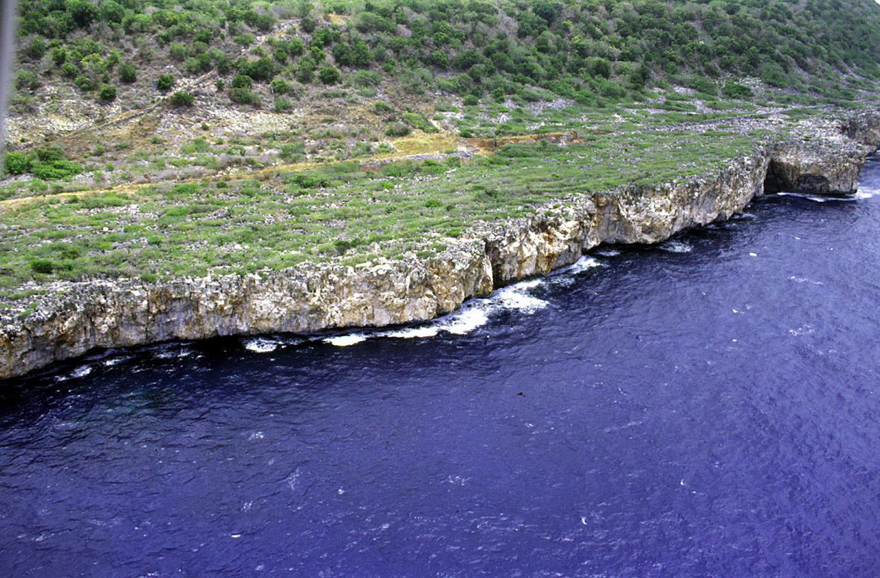
Deutsch: Luftaufnahme der Südwestküste von Navassa, Karibisches Meer
English: Aerial photo of the southwest coast of Navassa Island in the Caribbean Sea |
| Dátum | not specified |
| Forrás | http://coastal.er.usgs.gov/navassa/ |
| Szerző | USGS |
Licenc
This image is in the public domain in the United States because it only contains materials that originally came from the United States Geological Survey, an agency of the United States Department of the Interior. For more information, see the official USGS copyright policy.
|
Eredeti feltöltési napló
(All user names refer to en.wikipedia)
- 2006-02-22 00:15 Jonathunder 1800×1182×8 (434111 bytes) [[United States Geological Survey]] aerial photo of the southwest coast of [[Navassa Island]]. Source: http://coastal.er.usgs.gov/navassa/
Fájltörténet
Kattints egy időpontra, hogy a fájl akkori állapotát láthasd.
| Dátum/idő | Bélyegkép | Felbontás | Feltöltő | Megjegyzés | |
|---|---|---|---|---|---|
| aktuális | 2007. június 14., 03:37 | | 1 800 × 1 182 (424 KB) | Bouchecl | {{Information |Description=en:United States Geological Survey aerial photo of the southwest coast of en:Navassa Island. Source: http://coastal.er.usgs.gov/navassa/ www.estadodenavaza.galeon.com |Source=Originally from [http://en.wikipedia.org en |
Fájlhasználat
Az alábbi lap használja ezt a fájlt:
Globális fájlhasználat
A következő wikik használják ezt a fájlt:
- Használata itt: ca.wikipedia.org
- Használata itt: el.wikipedia.org
- Használata itt: en.wikipedia.org
- Használata itt: en.wikivoyage.org
- Használata itt: es.wikipedia.org
- Használata itt: fa.wikipedia.org
- Használata itt: fr.wikipedia.org
- Használata itt: hi.wikipedia.org
- Használata itt: ht.wikipedia.org
- Használata itt: id.wikipedia.org
- Használata itt: it.wikivoyage.org
- Használata itt: pl.wikipedia.org
- Használata itt: pt.wikipedia.org
- Használata itt: tt.wikipedia.org
- Használata itt: zh.wikivoyage.org