
Fájl:Punjab locator map.svg

Eredeti fájl (SVG fájl, névlegesen 955 × 1 029 képpont, fájlméret: 174 KB)
|
Ez a fájl a Wikimedia Commonsból származik. Az alább látható leírás az ottani dokumentációjának másolata. A Commons projekt szabad licencű kép- és multimédiatár. Segíts te is az építésében! |

|
Ez a sablon frissítésre szorul a következő okokból: Newly-created Fazilka district needs to be accommodated Eközben időbélyeget is helyezhetsz a képre.
|
| Cím |
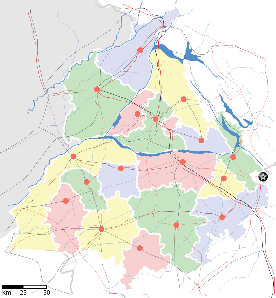
Punjab locator map |
||
| Leírás | |||
| Dátum | |||
| Forrás |
A feltöltő saját munkája |
||
| Alkotó |
|
||
| Engedély (Fájl újrafelhasználása) |
Én, e mű szerzője a művemet az alábbi licenc alatt teszem közzé: Ez a fájl a Creative Commons Nevezd meg! – Így add tovább! 3.0 Unported licenc alapján használható fel.
|
||
| Geotemporal data | |||
| Ábrázolt időpont | 20. évszázad második felében és 21. évszázad | ||
| Georeferencing | If inappropriate please set warp_status = skip to hide. | ||
| Archival data | |||
| Megjegyzés | Part of WikiProject India Maps | ||
derivative works
Származékos művek: Districts of Punjab, India.svg
Fájltörténet
Kattints egy időpontra, hogy a fájl akkori állapotát láthasd.
| Dátum/idő | Bélyegkép | Felbontás | Feltöltő | Megjegyzés | |
|---|---|---|---|---|---|
| aktuális | 2007. április 25., 20:27 | | 955 × 1 029 (174 KB) | Planemad | reupload, forgot crop |
| 2007. április 25., 20:25 |  | 2 393 × 1 956 (188 KB) | Planemad | {{WikiProject_India_Maps |Title=Punjab locator map |Description=Locator map of the state of w:Punjab, India with district boundaries, major highways, railways and water bodies. |Source=[www.punjabtourism.org/tt_maps.php Punjab Tourism - Ma |
Fájlhasználat
Az alábbi lap használja ezt a fájlt:
Globális fájlhasználat
A következő wikik használják ezt a fájlt:
- Használata itt: ar.wikipedia.org
- Használata itt: ast.wikipedia.org
- Használata itt: as.wikipedia.org
- Használata itt: awa.wikipedia.org
- Használata itt: bh.wikipedia.org
- Használata itt: bn.wikipedia.org
- Használata itt: ca.wikipedia.org
- Használata itt: ceb.wikipedia.org
- Használata itt: ckb.wikipedia.org
- Használata itt: de.wikipedia.org
- Használata itt: dty.wikipedia.org
- Használata itt: el.wikipedia.org
- Használata itt: eo.wikipedia.org
- Használata itt: es.wikipedia.org
- Használata itt: eu.wikipedia.org
- Használata itt: fa.wikipedia.org
- Használata itt: fr.wikipedia.org
- Használata itt: hi.wikipedia.org
- फिल्लौर
- साँचा:पंजाब के लोकसभा निर्वाचन क्षेत्र
- संगरूर लोक सभा निर्वाचन क्षेत्र
- अमृतसर लोक सभा निर्वाचन क्षेत्र
- भटिंडा लोक सभा निर्वाचन क्षेत्र
- फरीदकोट लोक सभा निर्वाचन क्षेत्र
- फतेहगढ़ साहिब लोक सभा निर्वाचन क्षेत्र
- आनंदपुर साहिब लोक सभा निर्वाचन क्षेत्र
- फिरोजपुर लोक सभा निर्वाचन क्षेत्र
- गुरदासपुर लोक सभा निर्वाचन क्षेत्र
- होशियारपुर लोक सभा निर्वाचन क्षेत्र
- जलंधर लोक सभा निर्वाचन क्षेत्र
- खडूर साहिब लोक सभा निर्वाचन क्षेत्र
- लुधियाना लोक सभा निर्वाचन क्षेत्र
- पटियाला लोक सभा निर्वाचन क्षेत्र
- थरियाल
- माधोपुर, पंजाब
- Használata itt: hy.wikipedia.org
- Használata itt: id.wikipedia.org
- Használata itt: ja.wikipedia.org
- Használata itt: kn.wikipedia.org
- Használata itt: mai.wikipedia.org
- Használata itt: mg.wikipedia.org
- Használata itt: ml.wikipedia.org
A fájl globális használatának megtekintése