
Fájl:Ethiopia adm location map.svg

Eredeti fájl (SVG fájl, névlegesen 1 843 × 1 494 képpont, fájlméret: 353 KB)
|
Ez a fájl a Wikimedia Commonsból származik. Az alább látható leírás az ottani dokumentációjának másolata. A Commons projekt szabad licencű kép- és multimédiatár. Segíts te is az építésében! |
Összefoglaló
| Leírás |
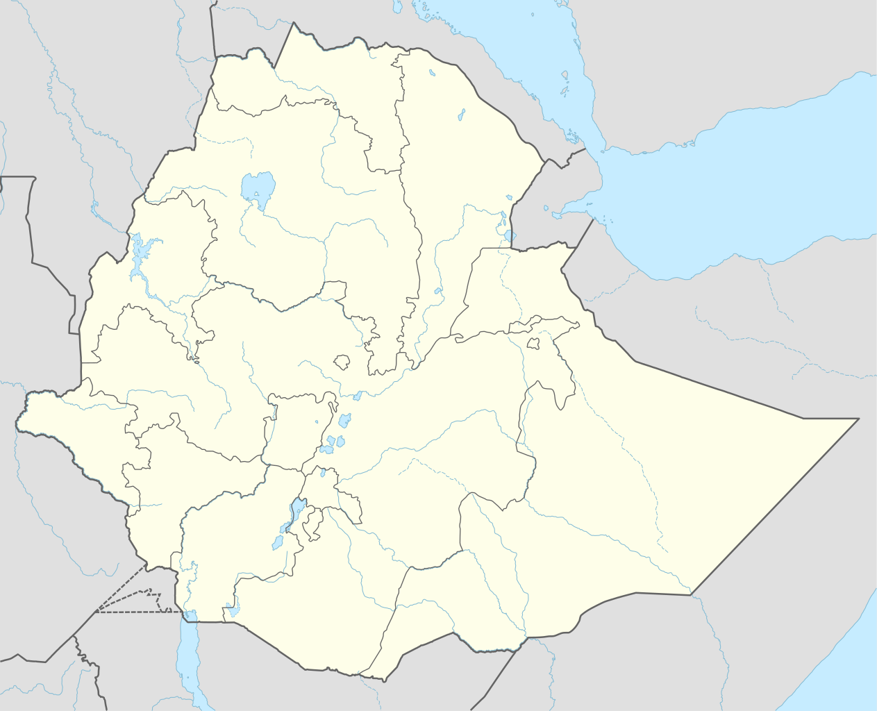
Deutsch: Positionskarte von Äthiopien
English: Location map of Ethiopia
|
||||||||||||
| Dátum | |||||||||||||
| Forrás |
Own work using:
|
||||||||||||
| Szerző | NordNordWest | ||||||||||||
| Más változatok |
|
||||||||||||
_location_map.svg)
_location_map.svg)
_location_map.svg)


|
Ezt a térképet a német Kartenwerkstatt készítette vagy javította. Te is javasolhatsz térképeket javításra.
|
Licenc
Usage of this file with:

explanatory notes: Legally binding is only the full legalcode. For a free usage I recommend to respect the following licence conditions:
1. Provide my name as given above: NordNordWest,
2. a copy of, or the URI for, the applicable license: https://creativecommons.org/licenses/by-sa/3.0/de/legalcode,
3. the title of the work,
4. in the case of an adaptation, a credit identifying the use of the work in the adaptation.
This license and the rights granted hereunder will terminate automatically upon any breach by you of the terms of this license. Any of the above conditions can be waived if you get permission from the copyright holder. If you have questions or wish differing conditions, please contact me through nnwest or my discussion page ![]() t-online.de
t-online.de
- A következőket teheted a művel:
- megoszthatod – szabadon másolhatod, terjesztheted, bemutathatod és előadhatod a művet
- feldolgozhatod – származékos műveket hozhatsz létre
- Az alábbi feltételekkel:
- Nevezd meg! – A szerzőt megfelelően fel kell tüntetned, hivatkozást kell létrehoznod a licencre és jelezned kell, ha a művön változtatást hajtottál végre. Ezt bármilyen észszerű módon megteheted, kivéve oly módon, ami azt sugallná hogy a jogosult támogat téged vagy a felhasználásod körülményeit.
- Így add tovább! – Ha megváltoztatod, átalakítod, feldolgozod ezt a művet, a közreműködésedet csak az eredetivel megegyező vagy hasonló licenc alatt terjesztheted.

Fájltörténet
Kattints egy időpontra, hogy a fájl akkori állapotát láthasd.
| Dátum/idő | Bélyegkép | Felbontás | Feltöltő | Megjegyzés | |
|---|---|---|---|---|---|
| aktuális | 2023. szeptember 11., 18:11 | | 1 843 × 1 494 (353 KB) | NordNordWest | upd 2023 |
| 2021. december 30., 01:12 |  | 1 843 × 1 494 (352 KB) | NordNordWest | corr | |
| 2021. december 1., 03:59 |  | 1 843 × 1 494 (359 KB) | Ue3lman | New South West Region | |
| 2021. október 13., 16:45 |  | 1 843 × 1 494 (349 KB) | Gebagebo | Added dotted line to indicate Somaliland | |
| 2021. április 5., 11:09 |  | 1 843 × 1 494 (345 KB) | NordNordWest | . | |
| 2020. november 25., 11:41 |  | 1 843 × 1 494 (350 KB) | NordNordWest | + Sidama | |
| 2020. június 27., 21:00 |  | 1 843 × 1 494 (350 KB) | NordNordWest | upd | |
| 2015. március 25., 20:20 |  | 1 843 × 1 494 (344 KB) | NordNordWest | == {{int:filedesc}} == {{Information |Description= {{de|1=Positionskarte von Äthiopien}} {{en|1=Location map of Ethiopia}} {{Location map series N |stretching=102 |top=15.3 |bottom=2.9 |left=32.7 |right=48.3 }} |Source={{Own using}} * United States Na... |
Fájlhasználat
Az alábbi lapok használják ezt a fájlt:
- ARA-VP-6/500 (Ardi)
- Ardipithecus kadabba
- Bole nemzetközi repülőtér
- Etiópia javasolt világörökségi helyszínei
- Etiópia világörökségi helyszínei
- Fasil Ghebbi
- Lalibela sziklába vájt templomai
- Simien Nemzeti Park
- Sablon:Bűncselekmény infobox
- Sablon:Bűncselekmény infobox/doc
- Sablon:Kráter infobox
- Sablon:Kráter infobox/doc
- Sablon:Pozíciós térkép Etiópia
- Sablon:Ősmaradvány infobox
- Sablon:Ősmaradvány infobox/doc
Globális fájlhasználat
A következő wikik használják ezt a fájlt:
- Használata itt: af.wikipedia.org
- Használata itt: am.wikipedia.org
A fájl globális használatának megtekintése