
Fájl:Armenia adm location map.svg

Eredeti fájl (SVG fájl, névlegesen 1 169 × 1 198 képpont, fájlméret: 146 KB)
|
Ez a fájl a Wikimedia Commonsból származik. Az alább látható leírás az ottani dokumentációjának másolata. A Commons projekt szabad licencű kép- és multimédiatár. Segíts te is az építésében! |
Összefoglaló
| Leírás |
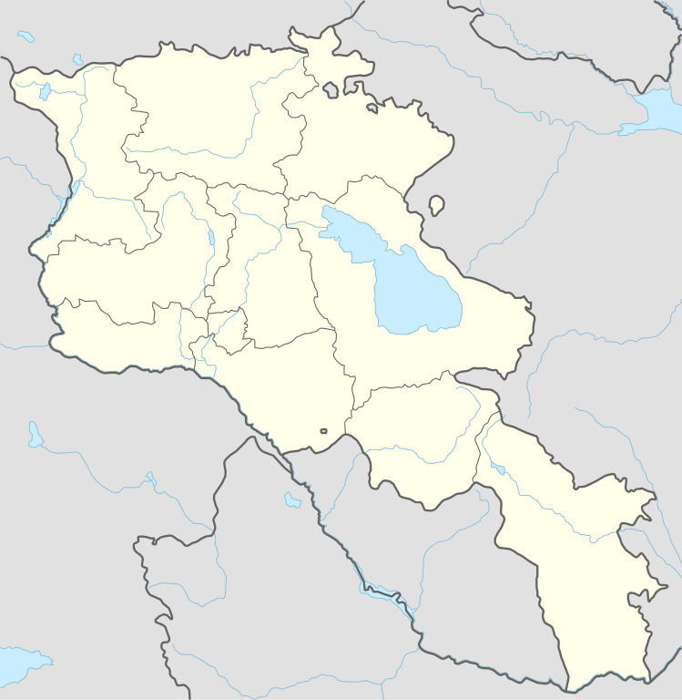
Deutsch: Positionskarte von Armenien
English: Location map of Armenia
|
||||||||||||
| Dátum | |||||||||||||
| Forrás |
Own work using:
|
||||||||||||
| Szerző | NordNordWest | ||||||||||||

|
Ezt a térképet a német Kartenwerkstatt készítette vagy javította. Te is javasolhatsz térképeket javításra.
|
Licenc
Usage of this file with:

explanatory notes: Legally binding is only the full legalcode. For a free usage I recommend to respect the following licence conditions:
1. Provide my name as given above: NordNordWest,
2. a copy of, or the URI for, the applicable license: https://creativecommons.org/licenses/by-sa/3.0/de/legalcode,
3. the title of the work,
4. in the case of an adaptation, a credit identifying the use of the work in the adaptation.
This license and the rights granted hereunder will terminate automatically upon any breach by you of the terms of this license. Any of the above conditions can be waived if you get permission from the copyright holder. If you have questions or wish differing conditions, please contact me through nnwest or my discussion page ![]() t-online.de
t-online.de
- A következőket teheted a művel:
- megoszthatod – szabadon másolhatod, terjesztheted, bemutathatod és előadhatod a művet
- feldolgozhatod – származékos műveket hozhatsz létre
- Az alábbi feltételekkel:
- Nevezd meg! – A szerzőt megfelelően fel kell tüntetned, hivatkozást kell létrehoznod a licencre és jelezned kell, ha a művön változtatást hajtottál végre. Ezt bármilyen észszerű módon megteheted, kivéve oly módon, ami azt sugallná hogy a jogosult támogat téged vagy a felhasználásod körülményeit.
- Így add tovább! – Ha megváltoztatod, átalakítod, feldolgozod ezt a művet, a közreműködésedet csak az eredetivel megegyező vagy hasonló licenc alatt terjesztheted.

Fájltörténet
Kattints egy időpontra, hogy a fájl akkori állapotát láthasd.
| Dátum/idő | Bélyegkép | Felbontás | Feltöltő | Megjegyzés | |
|---|---|---|---|---|---|
| aktuális | 2023. november 20., 20:36 | | 1 169 × 1 198 (146 KB) | NordNordWest | back to original size |
| 2023. november 20., 12:34 |  | 512 × 524 (130 KB) | Toghrul R | updated | |
| 2023. január 20., 11:32 |  | 1 169 × 1 198 (152 KB) | Golden | updating NK borders - no control in the south, removing old Lachin corridor | |
| 2020. november 14., 19:06 |  | 1 169 × 1 198 (150 KB) | NordNordWest | . | |
| 2014. október 21., 22:58 |  | 1 169 × 1 198 (161 KB) | NordNordWest | == {{int:filedesc}} == {{Information |Description= {{de|1=Positionskarte von Armenien}} {{en|1=Location map of Armenia}} {{Location map series N |stretching=130 |top=41.4 |bottom=38.8 |left=43.4 |right=46.7 }} |Source={{Own using}} * United States Nati... |
Fájlhasználat
Az alábbi lapok használják ezt a fájlt:
- 2011-es Junior Eurovíziós Dalfesztivál
- 2019-es U19-es labdarúgó-Európa-bajnokság
- 2022-es Junior Eurovíziós Dalfesztivál
- Angolpark (Jereván)
- Barekamutiun állomás
- Dalma Garden Mall
- Dilizsan Nemzeti Park
- Erebuni
- Erebuni repülőtér
- Geghard kolostor
- Hogevank kolostor
- Hor Virap
- Jereváni vasútállomás
- Karen Demircsján Sport- és Koncertkomplexum
- Kaszkád (Jereván)
- Köztársaság tér (Jereván)
- Köztársaság tér állomás
- Napisten templom (Garni)
- Noravank kolostor
- Szabadság tér (Jereván)
- Szaszuni Dávid állomás
- Szent Kristóf-kolostor
- Szeván-kolostor
- Tatev-kolostor
- Tatev szárnyai
- Yeritaszardakan állomás
- Zvartnotsz-katedrális
- Zvartnotszi nemzetközi repülőtér
- Örményország anyja
- Örményország javasolt világörökségi helyszínei
- Sablon:Pozíciós térkép Örményország
Globális fájlhasználat
A következő wikik használják ezt a fájlt:
- Használata itt: af.wikipedia.org
- Használata itt: als.wikipedia.org
- Használata itt: an.wikipedia.org
- Használata itt: ar.wikipedia.org
- Használata itt: ast.wikipedia.org
- Yeghipatrush
- Yereván
- Castiellu d'Erebuni
- Fortaleza d'Ertij
- Fortaleza de Kosh
- Lori Berd
- Ciudadela d'Horom
- Castiellu de Bjni
- Vorotnaberd
- Fortaleza Ajtala
- Amberd
- Baghaberd
- Castiellu de Yereván
- Berdkunk
- Fortaleza Berdavan
- Fortaleza Berdkunk
- Proshaberd
- Fortaleza Dashtadem
- Kakavaberd
- Fortaleza Halidzor
- Karmir Blur
- Sardari Berd
- Sev Berd
- Smbataberd
- Fuerte Tavush
- Teishebaini
- Yergevanits
- Ushiberd
- Tsitsernakaberd
- Echmiadzin
- Yerevandashat (ciudá antigua)
- Dvin
- Hnaberd (Aragatsotn)
- Argishtikhinili
- Fortaleza de Meghri
- Armavir (ciudá antigua)
- Módulu:Mapa de llocalización/datos/Armenia
- Módulu:Mapa de llocalización/datos/Armenia/usu
- Guiumri
- Bancu Central d'Armenia
- Yeghegnadzor
A fájl globális használatának megtekintése