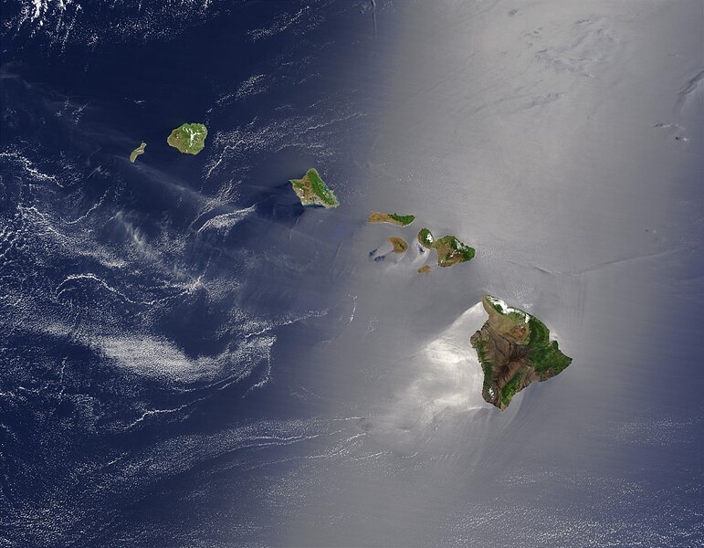
Fájl:Hawaje.jpg

Az előnézet mérete: 771 × 600 képpont További felbontások: 309 × 240 képpont | 617 × 480 képpont | 988 × 768 képpont | 1 280 × 996 képpont | 2 560 × 1 991 képpont | 3 600 × 2 800 képpont.
Eredeti fájl (3 600 × 2 800 képpont, fájlméret: 1,16 MB, MIME-típus: image/jpeg)
Fájltörténet
Kattints egy időpontra, hogy a fájl akkori állapotát láthasd.
| Dátum/idő | Bélyegkép | Felbontás | Feltöltő | Megjegyzés | |
|---|---|---|---|---|---|
| aktuális | 2005. október 26., 20:19 |  | 3 600 × 2 800 (1,16 MB) | Palladinus | Hawaii Islands |
Fájlhasználat
Ezt a fájlt nem használja egyetlen lap sem.
Globális fájlhasználat
A következő wikik használják ezt a fájlt:
- Használata itt: arz.wikipedia.org
- Használata itt: bg.wikipedia.org
- Használata itt: ceb.wikipedia.org
- Használata itt: co.wikipedia.org
- Használata itt: en.wikipedia.org
- Használata itt: es.wikipedia.org
- Használata itt: fr.wikipedia.org
- Használata itt: fr.wiktionary.org
- Használata itt: gcr.wikipedia.org
- Használata itt: gl.wikipedia.org
- Használata itt: hr.wikipedia.org
- Használata itt: ky.wikipedia.org
- Használata itt: lv.wikipedia.org
- Használata itt: no.wikipedia.org
- Használata itt: oc.wikipedia.org
- Használata itt: pdc.wikipedia.org
- Használata itt: pl.wikipedia.org
- Használata itt: pl.wiktionary.org
- Használata itt: ro.wikipedia.org
- Használata itt: ru.wikipedia.org
- Használata itt: ru.wikinews.org
- Használata itt: sq.wikipedia.org
- Használata itt: sw.wikipedia.org
- Használata itt: to.wikipedia.org
- Használata itt: uk.wikipedia.org


