
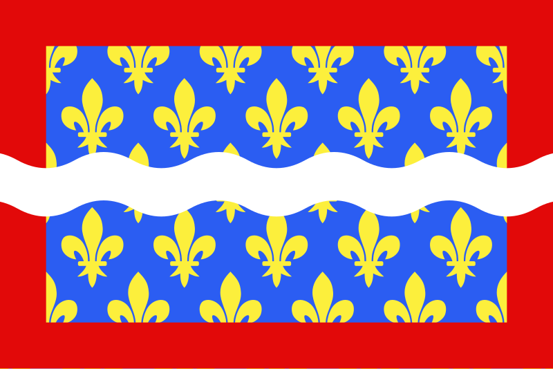
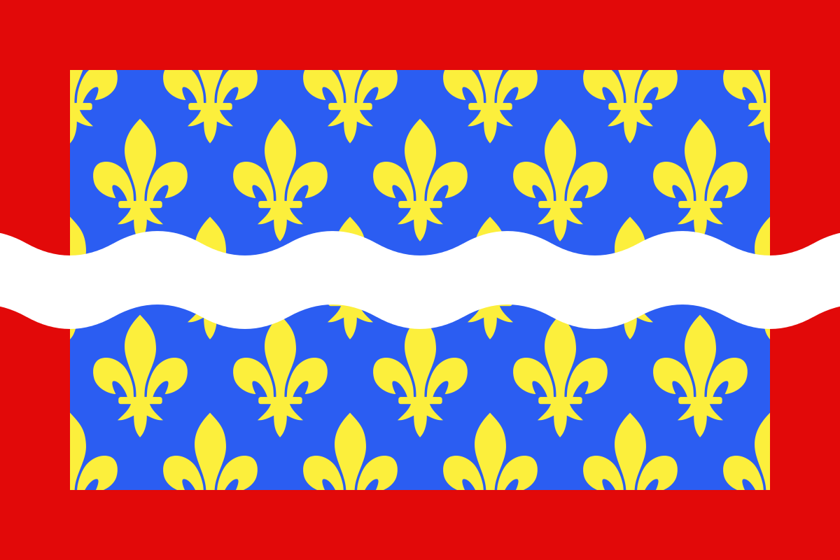
Fájl:Drapeau fr département Cher.svg

Ennek a(z) SVG fájlnak ezen PNG formátumú előnézete: 800 × 533 képpont. További felbontások: 320 × 213 képpont | 640 × 427 képpont | 1 024 × 683 képpont | 1 280 × 853 képpont | 2 560 × 1 707 képpont | 1 200 × 800 képpont.
Eredeti fájl (SVG fájl, névlegesen 1 200 × 800 képpont, fájlméret: 3 KB)
|
Ez a fájl a Wikimedia Commonsból származik. Az alább látható leírás az ottani dokumentációjának másolata. A Commons projekt szabad licencű kép- és multimédiatár. Segíts te is az építésében! |
| Leírás |
English: Flag of Cher
Français : Drapeau du département du Cher
Español: Banderas de Cher |
| Dátum | |
| Forrás | A feltöltő saját munkája |
| Szerző | user:Spedona |
Én, e mű szerzője a művemet az alábbi licencek alatt teszem közzé:

|
Ez a fájl szabadon másolható, terjeszthető és/vagy módosítható a GNU Szabad Dokumentációs Licenc feltételei alapján, az 1.2 vagy későbbi, a Free Software Foundation által publikált Nem Változtatható szakaszok, Címlapszövegek és Hátlapszövegek nélküli változat szerint. E licenc egy példánya a GNU Szabad Dokumentációs Licenc című fejezetben olvasható. |
| Ez a fájl a Creative Commons Nevezd meg! – Így add tovább! 3.0 Unported licenc alapján használható fel. | ||
| ||
| Ez a licenc a GFDL licenccsere során került a fájlra. |
Ez a fájl a Creative Commons Nevezd meg! – Így add tovább! 2.5 Általános, 2.0 Általános és 1.0 Általános licencek alapján használható fel.
- A következőket teheted a művel:
- megoszthatod – szabadon másolhatod, terjesztheted, bemutathatod és előadhatod a művet
- feldolgozhatod – származékos műveket hozhatsz létre
- Az alábbi feltételekkel:
- Nevezd meg! – A szerzőt megfelelően fel kell tüntetned, hivatkozást kell létrehoznod a licencre és jelezned kell, ha a művön változtatást hajtottál végre. Ezt bármilyen észszerű módon megteheted, kivéve oly módon, ami azt sugallná hogy a jogosult támogat téged vagy a felhasználásod körülményeit.
- Így add tovább! – Ha megváltoztatod, átalakítod, feldolgozod ezt a művet, a közreműködésedet csak az eredetivel megegyező vagy hasonló licenc alatt terjesztheted.
A mű a fenti licencek bármelyike szerint felhasználható.
Fájltörténet
Kattints egy időpontra, hogy a fájl akkori állapotát láthasd.
| Dátum/idő | Bélyegkép | Felbontás | Feltöltő | Megjegyzés | |
|---|---|---|---|---|---|
| aktuális | 2012. december 22., 11:43 | | 1 200 × 800 (3 KB) | Alkari | code cleanup/file size reduction |
| 2007. november 29., 19:37 |  | 1 203 × 797 (110 KB) | Spedona | {{Information |Description={{en|Flag of Cher}} {{fr|Drapeau du département du Cher}} {{es|Banderas de Cher}} |Source=own work |Date=28 novembre 2007 |Author=user:Spedona |Permission=see below |other_versions= - }} {{self2|GFDL|cc-by-sa-2.5,2.0,1.0}} |
Fájlhasználat
Az alábbi lap használja ezt a fájlt:
Globális fájlhasználat
A következő wikik használják ezt a fájlt:
- Használata itt: an.wikipedia.org
- Használata itt: ar.wikipedia.org
- Használata itt: az.wikipedia.org
- Használata itt: bg.wikipedia.org
- Használata itt: ca.wikipedia.org
- Használata itt: ceb.wikipedia.org
- Használata itt: ce.wikipedia.org
- Használata itt: cs.wikipedia.org
- Használata itt: da.wikipedia.org
- Használata itt: de.wikivoyage.org
- Használata itt: el.wikipedia.org
- Használata itt: en.wikipedia.org
- Cher (department)
- ISO 3166-2:FR
- Flags of the regions of France
- Timeline of the introduction of television in countries
- List of flags by color combination
- List of political and geographic subdivisions by total area from 5,000 to 20,000 square kilometers
- List of political and geographic subdivisions by total area (all)
- List of political and geographic subdivisions by total area from 7,000 to 10,000 square kilometers
- User:Charles G. Delahaye/sandbox
- Template:Country data Cher
- User:Germenfer/sandbox5
- Használata itt: es.wikipedia.org
- Cher (departamento)
- Anexo:Banderas de Francia
- Cantón de Baugy
- Cantón de Argent-sur-Sauldre
- Cantón de Bourges-5
- Cantón de Charenton-du-Cher
- Cantón de Châteauneuf-sur-Cher
- Cantón de Graçay
- Cantón de Henrichemont
- Cantón de La Chapelle-d'Angillon
- Cantón de Le Châtelet
- Cantón de Léré
- Cantón de Les Aix-d'Angillon
- Cantón de Levet
- Cantón de Lignières
- Cantón de Lury-sur-Arnon
- Cantón de Nérondes
- Cantón de Sancergues
- Cantón de Sancoins
- Cantón de Saulzais-le-Potier
- Cantón de Vailly-sur-Sauldre
- Használata itt: fa.wikipedia.org
- Használata itt: fr.wikipedia.org
A fájl globális használatának megtekintése