
Fájl:Map of New York highlighting Queens County.svg

Ennek a(z) SVG fájlnak ezen PNG formátumú előnézete: 787 × 600 képpont. További felbontások: 315 × 240 képpont | 630 × 480 képpont | 1 008 × 768 képpont | 1 280 × 976 képpont | 2 560 × 1 951 képpont | 6 599 × 5 030 képpont.
Eredeti fájl (SVG fájl, névlegesen 6 599 × 5 030 képpont, fájlméret: 112 KB)
|
Ez a fájl a Wikimedia Commonsból származik. Az alább látható leírás az ottani dokumentációjának másolata. A Commons projekt szabad licencű kép- és multimédiatár. Segíts te is az építésében! |
Összefoglaló
| Leírás |
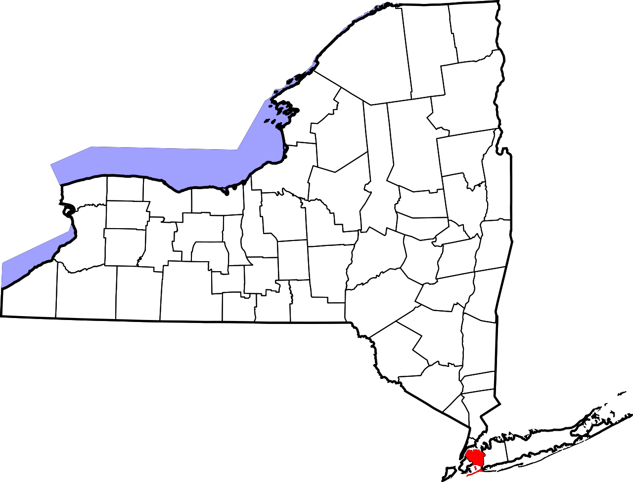
English: This is a locator map showing Queens County in New York. For more information, see Commons:United States county locator maps. |
| Dátum | |
| Forrás |
A feltöltő saját munkája: English: The maps use data from nationalatlas.gov, specifically countyp020.tar.gz on the Raw Data Download page. The maps also use state outline data from statesp020.tar.gz. The Florida maps use hydrogm020.tar.gz to display Lake Okeechobee. |
| Szerző | David Benbennick |
Licenc
| Én, a szerző, ezt a művemet ezennel közkinccsé nyilvánítom. Ez a világ minden részén érvényes. Egyes országokban ez jogilag nem lehetséges. Ha így van, akkor: Jogot adok bárkinek, hogy bármilyen célból, feltétel nélkül használhassa ezt a fájlt, kivéve a törvény által kötelezően előírt feltételeket. |
Fájltörténet
Kattints egy időpontra, hogy a fájl akkori állapotát láthasd.
| Dátum/idő | Bélyegkép | Felbontás | Feltöltő | Megjegyzés | |
|---|---|---|---|---|---|
| aktuális | 2006. február 12., 17:33 | | 6 599 × 5 030 (112 KB) | David Benbennick | {{subst:User:Dbenbenn/clm|county=Queens County|state=New York|type=county}} |
Fájlhasználat
Az alábbi lapok használják ezt a fájlt:
Globális fájlhasználat
A következő wikik használják ezt a fájlt:
- Használata itt: bpy.wikipedia.org
- Használata itt: ca.wikipedia.org
- Használata itt: cy.wikipedia.org
- Használata itt: de.wikipedia.org
- Használata itt: en.wikipedia.org
- List of counties in New York
- Rockaway Inlet
- Jamaica Hills, Queens
- Wikipedia:WikiProject New York City
- Hawtree Creek
- Bayswater, Queens
- National Register of Historic Places listings in Queens, New York
- Douglaston Park
- Edgemere, Queens
- Auburndale, Queens
- Ambrose Channel
- Bergen Basin
- Locust Manor, Queens
- Hammels, Queens
- Seaside, Queens
- Beechhurst, Queens
- East Rockaway Inlet
- Roxbury, Queens
- Fresh Pond, Queens
- Template:QueensNY-geo-stub
- Bowery Bay
- Beaver Pond (Queens)
- Kopytko Triangle
- Tribute Park
- User:AridCeption/sandbox
- File talk:Map of New York highlighting Queens County.svg
- Guillermo Vasquez Corner
- Használata itt: es.wikipedia.org
- Használata itt: eu.wikipedia.org
- Használata itt: fa.wikipedia.org
- Használata itt: fi.wikipedia.org
A fájl globális használatának megtekintése